In the thread for Tuttlefest 2008, Peter and I compared and contrasted (geez, sounds like a college assignment) where we'd lived and visited. He had the brilliant idea to color in the states on a map, as so:
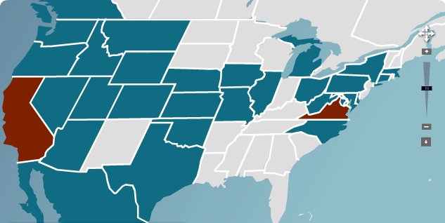
Where red = lived, blue = visited, gray = neither.
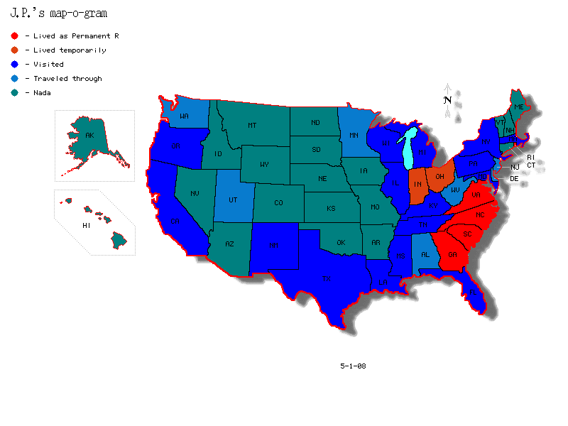
Cool! Now here's mine, although as a non-conformist, I found my own map and tweaked the color scheme:
How 'bout it, Axiomites? Anybody else up for doing a map-o-gram?
If you like, to get you started, here's the
Map-maker utility web site that I used to do my map. You just designate what states go in what group and bam, they give you a picture. My main beef is that gray is not a color option - the form limits you to 8 options, mostly primary colors.
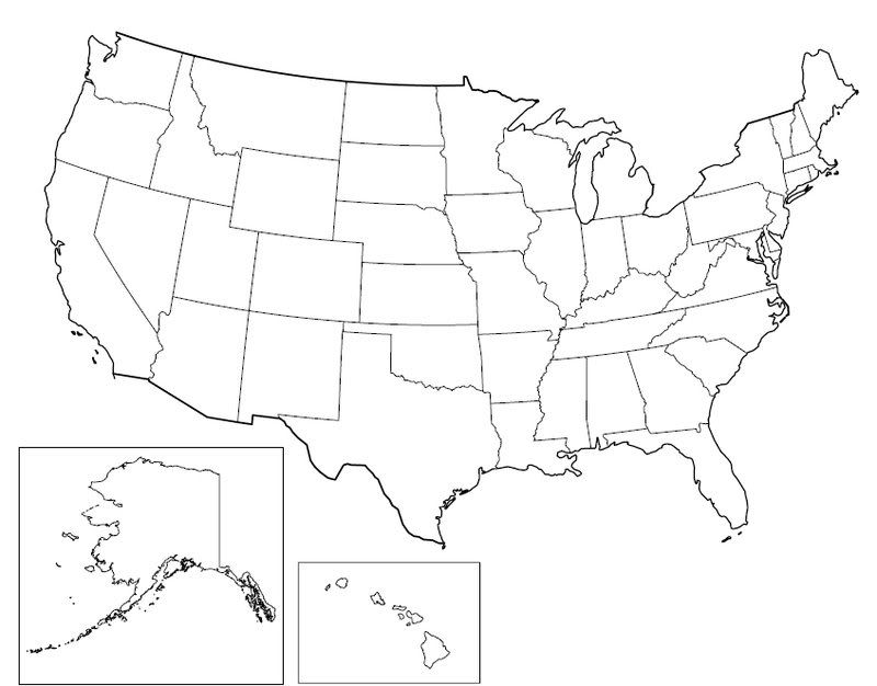
But I digress. If you want to use any color you wish, here is a crisp, big U.S. map with borders that seem suitable for filling in with Paint:
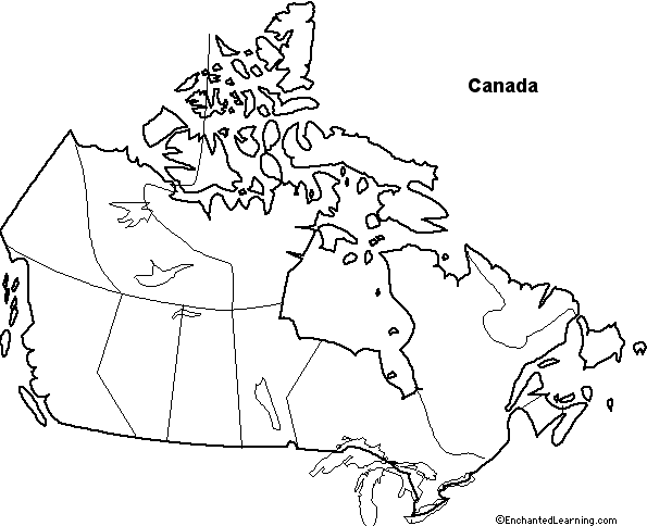
So that our Canadian friends get to play too, here's the Great White North, eh?!
Happy mapmaking!